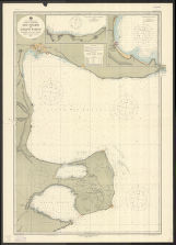
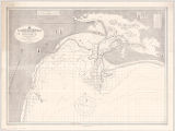
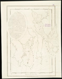
Map of New-York Bay and Harbor and the environs : [with colored manuscript additions to show positions of troops and fleets at the Battle of Long Island, 1776]
View
@ Lionel Pincus and Princess Firyal Map Division. The New York Public Library
Description
Topography engraved by S. Siebert views engraved by O.A. Lawson ; engraving supervised hydrography engraved by F. Dankworth ; lettering by F. Dankworth & J. Knight.Annotated with red and blue ink to show positions of troops and fleets at the Battle of Long Island. NNIn upper right margin: Electrotype copy no. 7, by G. Mathiot U.S.C.S.National Endowment for the Humanities Grant for Access to Early Maps of the Middle Atlantic Seaboard.Prime meridians: New York and Greenwich.Relief shown by hachures; depths shown by soundings.Includes text, table of currents, and 4 coastal panoramas.
Maps
Jenkins, T. ADankworth, Frederick (b. ca. 1804)Farley, John (1802 or 3-1874)Lawson, Oscar A. (1813-1854)Ferguson, James (1710-1776)Hassler, F. R. (Ferdinand Rudolph) (1770-1843)United States Coast SurveySands, B. F. (Benjamin Franklin) (1811-1883)Blunt, Edmund M. (Edmund March) (1770-1862)Siebert, SelmarRollé, ABache, A. D. (Alexander Dallas) (1806-1867)Renard, CKnight, J. (Jonathan) (1787-1858)Mathiot, GGedney, Thomas RHumphreys, A. A. (Andrew Atkinson) (1810-1883)
1845
![Thumbnail for Map of New-York Bay and Harbor and the environs : [with colored manuscript additions to show positions of troops and fleets at the Battle of Long Island, 1776]](https://d2l9jrtx1kk04i.cloudfront.net/861b59bb0ac04500efd22c07eb61e9424fa0dae6.png)


