Description
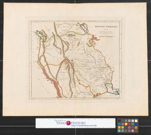
Scale ca. 1:3,500,000. Relief shown pictorially. LC Maps of North America, 1750-1789, 19 Covers the area from Lake Superior to Kaskaskia and from Delaware Bay to the Mississippi River. Shows a few towns, missions, forts, Indian villages and tribal territory, rivers and lakes, portages, and early place-names. Available also through the Library of Congress Web site as a raster image. Vault AACR2[Nürnberg] 1755.
Image
Map
Bellin, Jacques Nicolas, 1703-1772.Homann Erben (Firm)
For rights relating to this resource, visit https://www.loc.gov/item/73694802/
Record Contributed By
Library of CongressRecord Harvested From
Library of CongressKeywords
- Canada
- Early Works To 1800
- Great Lakes Region
- Great Lakes Region (North America)
- Maps
- New France
- North America


