Ohio Federal Writers' Project
Description
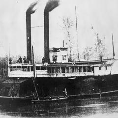
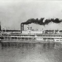
Caption on reverse reads: "Code - C 1; Class. - Rivers, etc.; Ident. - Ohio River; Location - At Manchester; This photo must be returned to Ohio Writers' Project 78 E. Chestnut St., Columbus, Ohio." Manchester is located approximately 74 miles upstream of Cincinnati, Ohio. Originally called Massie's Station, it was the first permanent white settlement within the Virginia Military District, built along the Ohio River in 1790 and was built near the "Three Islands." Native Americans used these islands to attack settlers traveling down the Ohio River. Nathanial Massie offered nineteen men property if they would settle in the town. He used the settlement as a base for his survey work in the district. In 1791, Massie's Station became known as Manchester, Ohio. Massie named the community after Manchester, England. It was the fourth permanent settlement established in the Northwest Territory. By 1791, residents had completely encircled the community with a stockade to provide protection from Native Americans. Manchester served as the county seat for Adams County from 1797 to 1803, when residents moved local government to West Union. Located on the Ohio River across from the slaveholding state of Kentucky, Manchester proved an important community along the Underground Railroad. The larger of the two remaining islands is called Manchester, and the smaller is called Tow Head. They are now part of the Ohio River Islands National Wildlife Refuges under the supervision of the United States Fish and Wildlife Service. The Ohio River is the largest tributary of the...
Image
Picture


