Map of the United States and territories: showing the possessions and aggressions of the slave power.
View
@ University of Texas at Arlington Library
Bloss, William C
Description
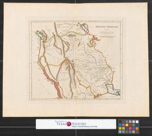
Map shows slave holding [dark shaded], non-slave holding [unshaded], and disputed territorries [grayed] parts of the United States during the decade before Civil War. The "Missouri Compromise" is indicated with a parallel line extending from the northern Arkansas border to California. No scale indicated. Political representation of slave holding, non-slave holding, and territories is also indicated. This broadside was printed and distributed in support of 1856 Republican Party presidential candidate John C. Fremont and political commentary appears in the lower third of the sheet.1 map : 50 x 60 cm., on sheet 107 x 71 cm.
Image
The contents of The Portal to Texas History (digital content including images, text, and sound and video recordings) are made publicly available by the collection-holding partners for use in research, teaching, and private study. For the full terms of use, see https://texashistory.unt.edu/terms-of-use/


