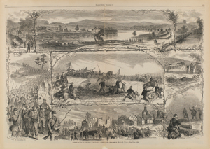
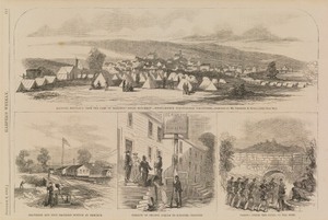
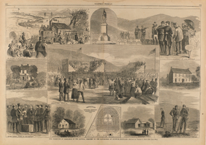
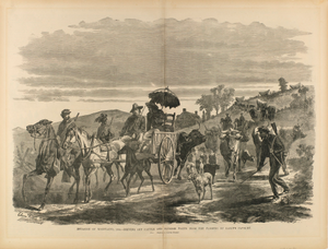
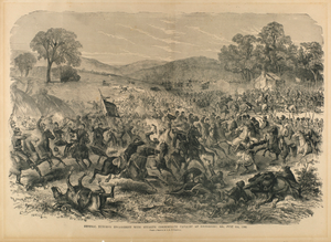
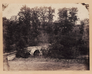
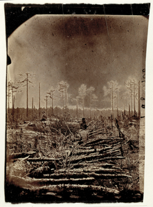
Pictorial Map of the Seat of War, Showing Parts of the States of Maryland, Delaware, Virginia, and North Carolina, and also the Coast Line from Cape Henry to Fort Pickens, with the United States Blockading Fleet, from Harper's Weekly, June 8, 1861
View
@ Smithsonian American Art Museum
Unidentified (American)
Description
Wood Engraving On Paper
Smithsonian American Art Museum, Museum purchase


